Stakeholder Engagement
Type of resources
Keywords
Publication year
Topics
-
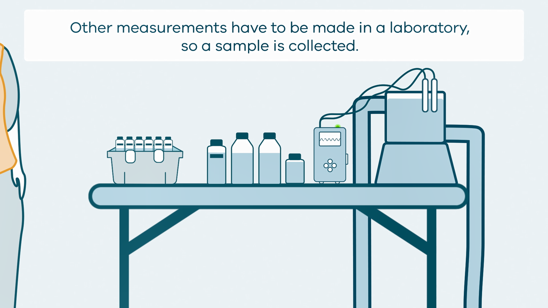
This animation shows how groundwater sampling is conducted. It is part of a series of Field Activity Technique Engagement Animations. The target audience are the communities that are impacted by GA's data acquisition activities. There is no sound or voice over. The 2D animation includes a simplified view of what groundwater sampling equipment looks like, what the equipment measures and how scientists use the data.
-
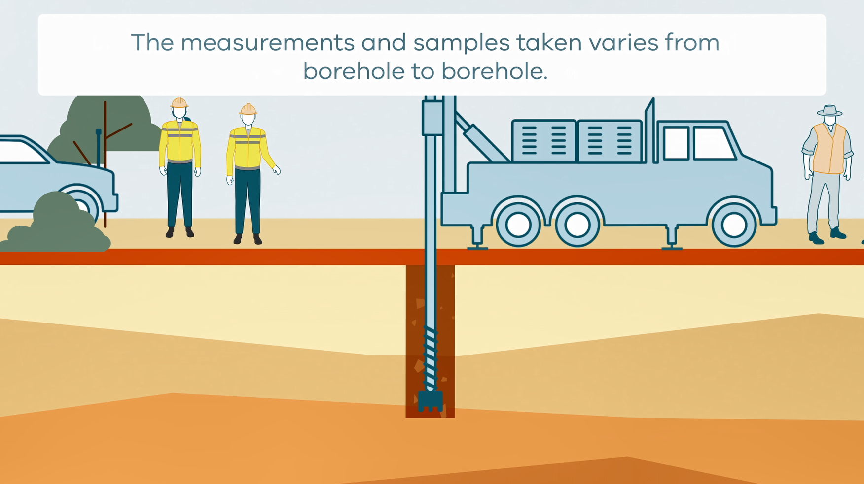
This animation shows how stratigraphic drilling is conducted. It is part of a series of Field Activity Technique Engagement Animations. The target audience are the communities that are impacted by GA's data acquisition activities. There is no sound or voice over. The 2D animation includes a simplified view of what stratigraphic drilling looks like, what measurements and samples are taken, and how scientists use the data.
-
<div>Templates and User Guide to provide airborne geophysical data to non-technical people. The template includes a description of the project, survey method, how the data can be used, and what the data can show you. The template is internal use only</div><div>1. Airborne Electromagnetic Survey</div>
-
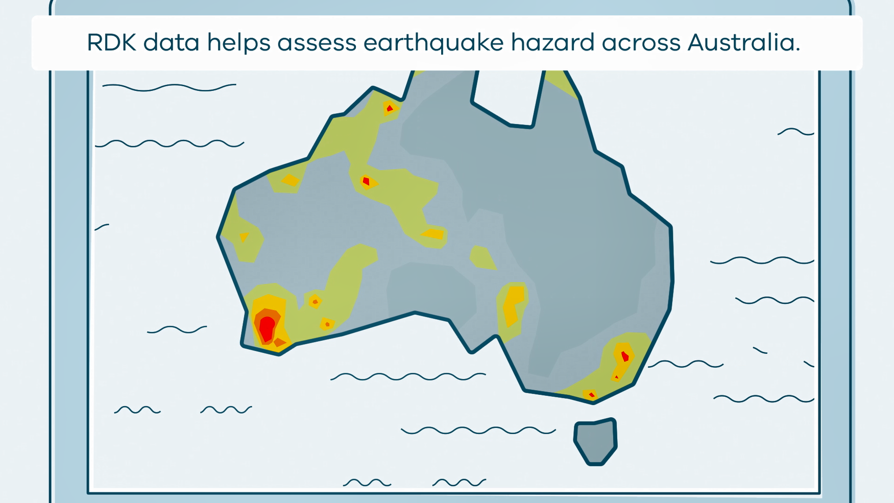
This animation shows what happens when rapid deployment kits (RDKs) are deployed after an earthquake. It is part of a series of Field Activity Technique Engagement Animations. The target audience are the communities that are impacted by GA's data acquisition activities. There is no sound or voice over. The 2D animation includes a simplified view of what rapid deployment kits (RDKs) look like, what is measured, and how scientists use the data.